Hexagonal maps are useful for creating data visualisations of data points that are a representation of quantities that require equal sized polygons. For example Election Maps. While geographic map of the assembly and parliamentary constituencies might be used for visualising election results, it is a false one. The constituencies are created based on the number of people in a region under the principal of a representative for every X number of people. In such a scenario, using a geographic representation for a place like Chennai, which is made of 3 parliamentary constituencies, doesn’t give us the same perception as the 3 constituencies Kanniyakumari, Thoothukudi, and Thirunelveli put together. But in reality that’s what it actually means.
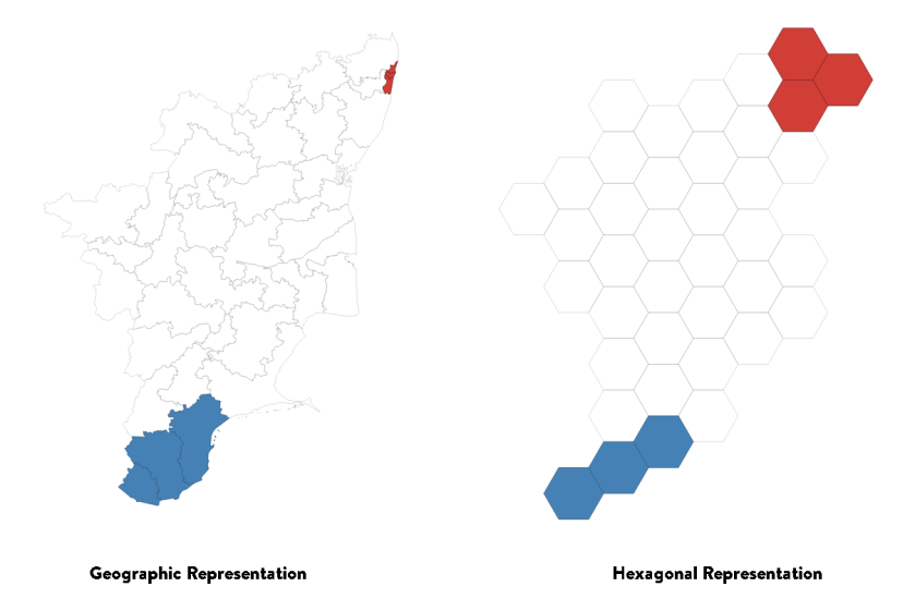
- Geographic Representation – Skewed representation of the base data. Unequal real estate for equal (approx) number of people
- Hexagonal Representation – Correct representation of the base data. Equal real estate for equal number of people.
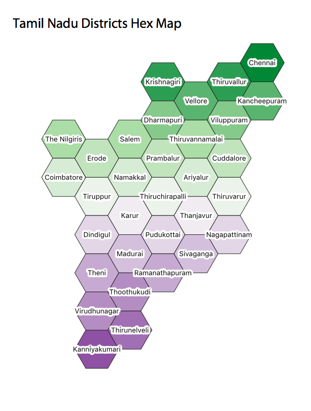
Now that we have the Parliamentary constituencies in Hex Map form, why not have the Districts as well.
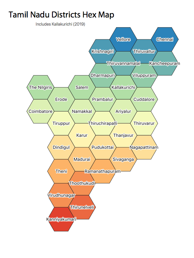
If you need the base data to create your own maps. The GeoJSON files for the same are available here https://github.com/tecoholic/Geographic-Data